
The beginning of the trail. Every day (in good weather), many people walk up and down the mountain.*

People have been carving graphiti on the mountain for hundreds of years.

At this point (a path cleared for power lines), you get an idea of what lies ahead.

Not even half way up, and the view is already beautiful.

A closer look at the building in the last picture.

At the halfway point is a covered rest area with picnic tables. Almost there!

I'm catching my breath in the rest area.

A plaque placed on the trail.

Here, a stone slab laying across other stones forms a small cave.

You can't tell from the last picture, but by the cave, the trail is this steep.

When you can see the tower, you know you're getting close to the top.

And when you can see the Sky Lift cables, you know you're even closer.

I made it! A survey marker marks the top of the mountain.
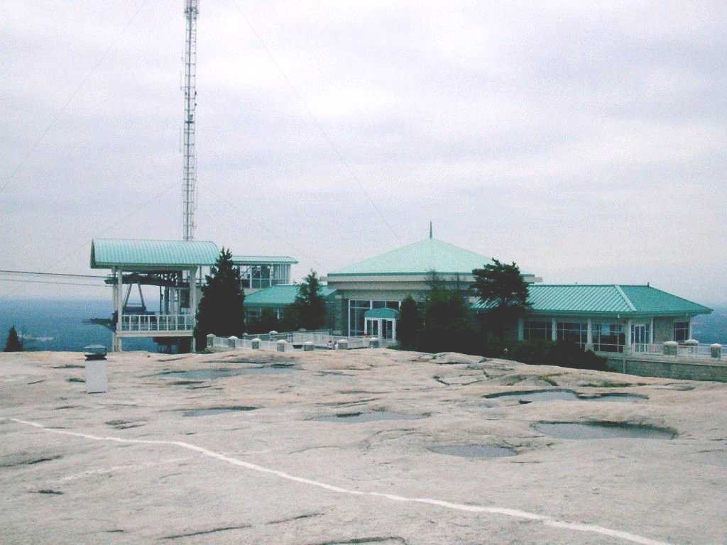
The building at the top. Here you can get snacks, gifts, and a ride down (on the Sky Lift) if you don't feel like walking.

It was a cloudy, misty day, but if you look closely, you can see the Atlanta skyline on the horizon.

A Sky Lift car on it's way up (or down?).

I'm on my way back down now.

There's a path you can take where there are handrails at the steepest part. I usually take it on the way down.

The gum pole. It is a tradition for hikers to stick their chewing gum on power line poles.

Some 1816 graphiti I found on the way down.

The trail ends at a train station on the Stone Mountain rail road.

My wife Linda and her dog Rosie are waiting for me on a bench.